Maps
The Adai Caddo in Cartography
A Graphical Record of History
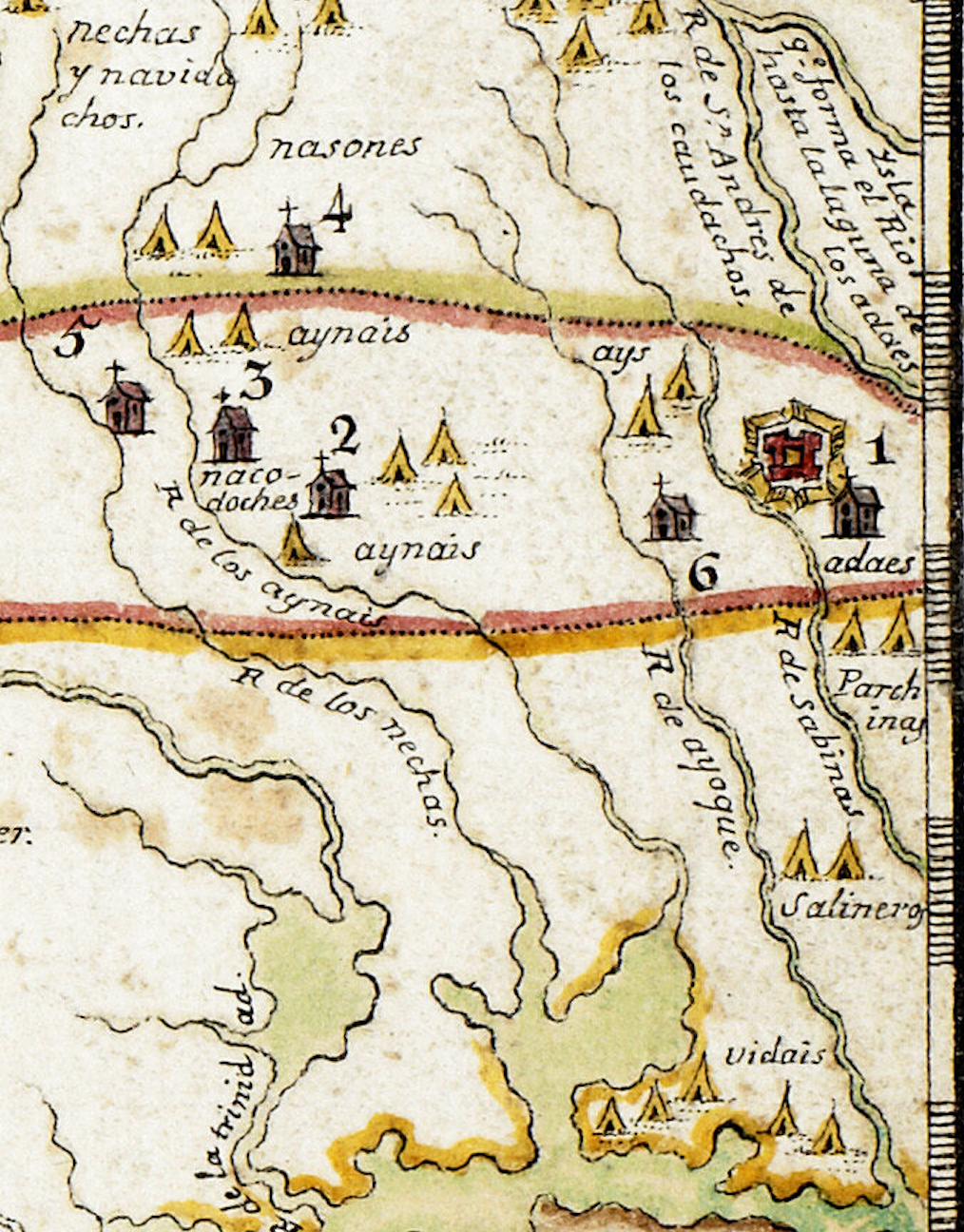
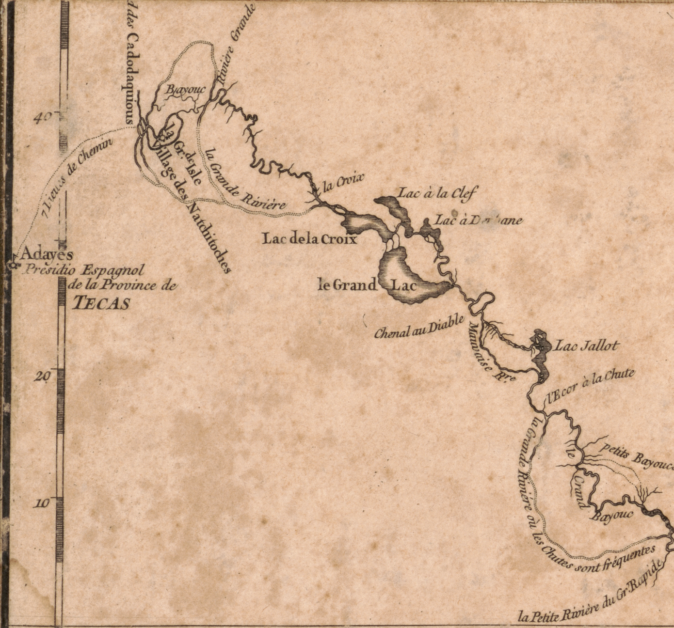
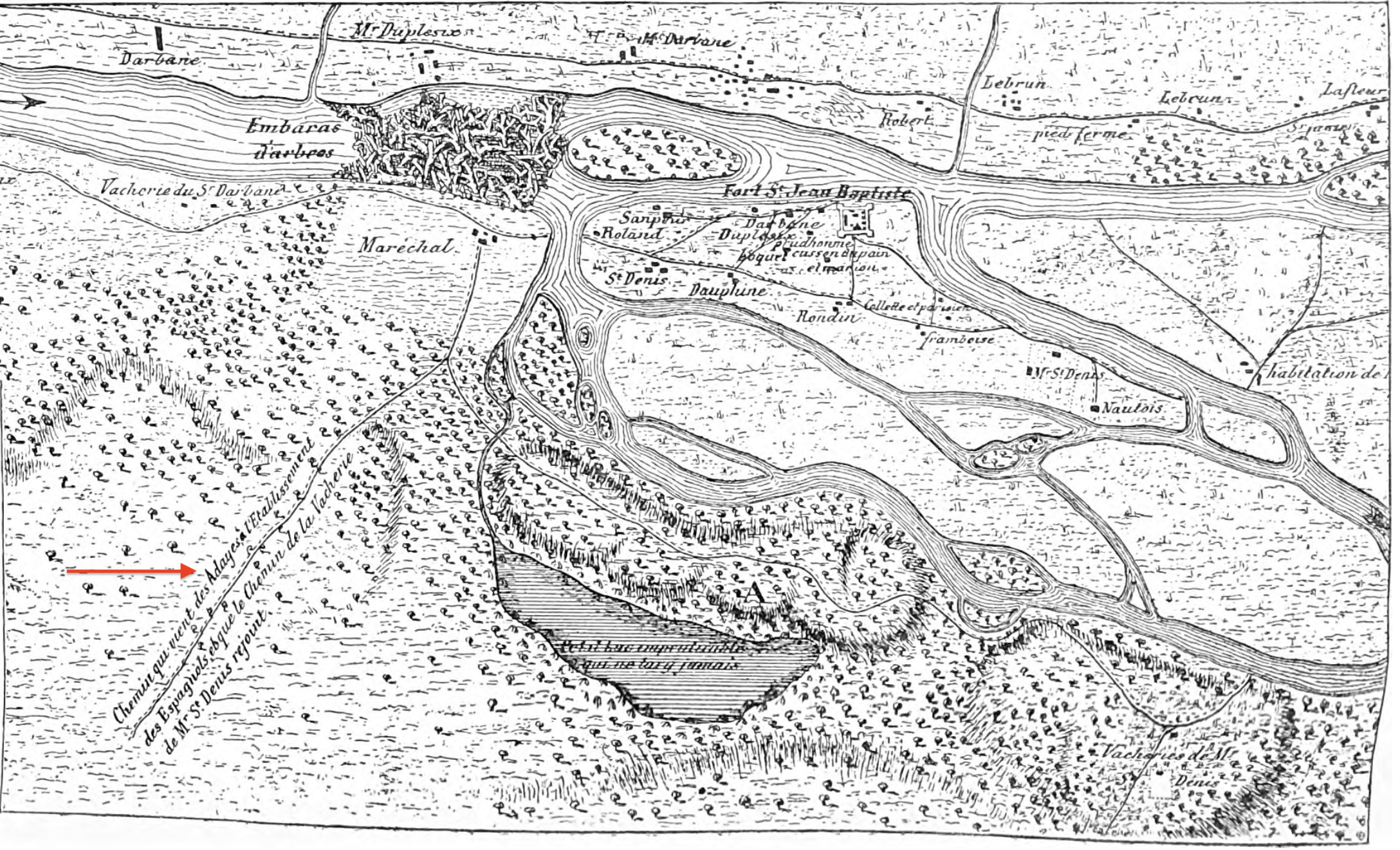
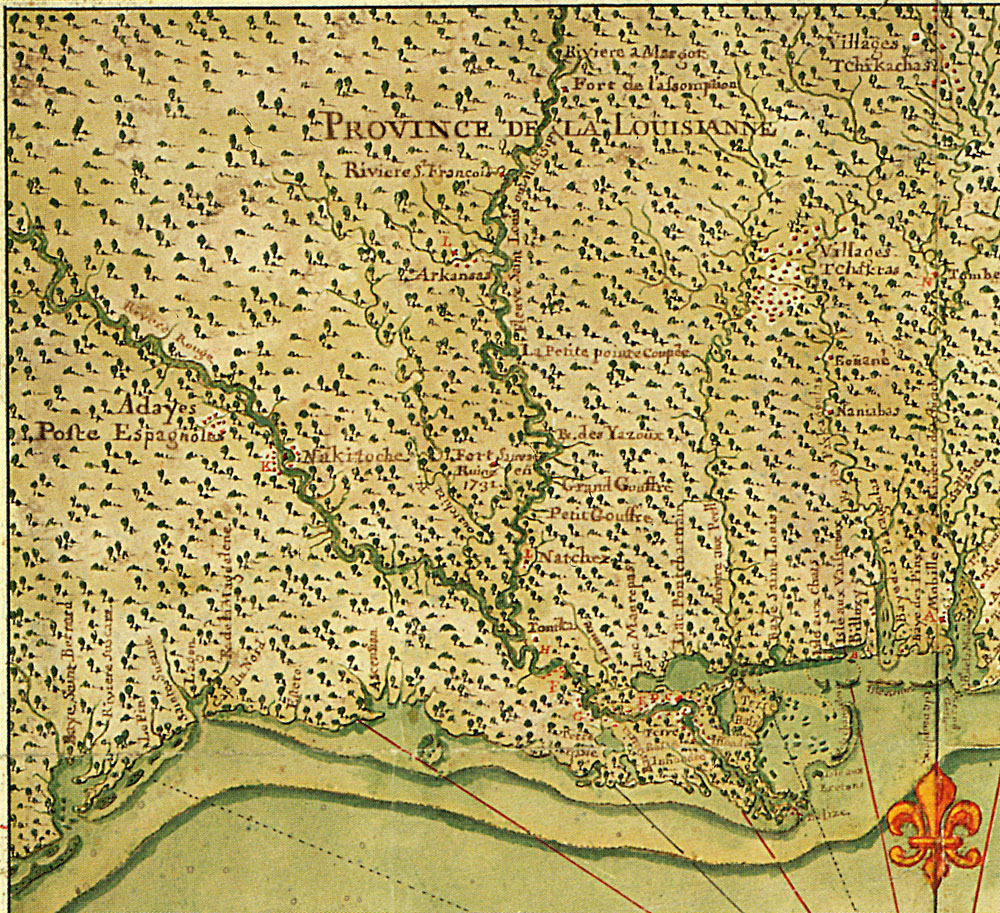
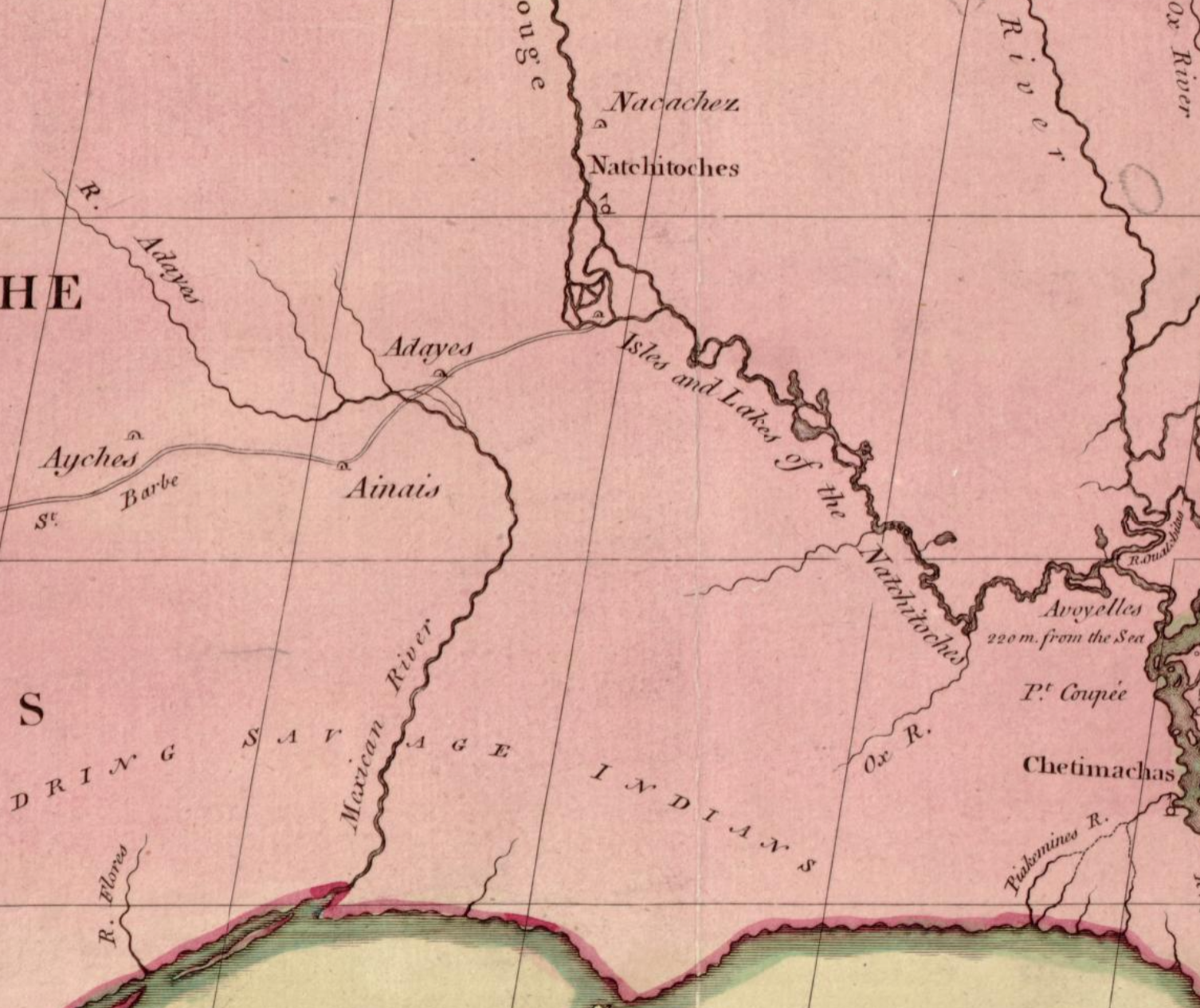
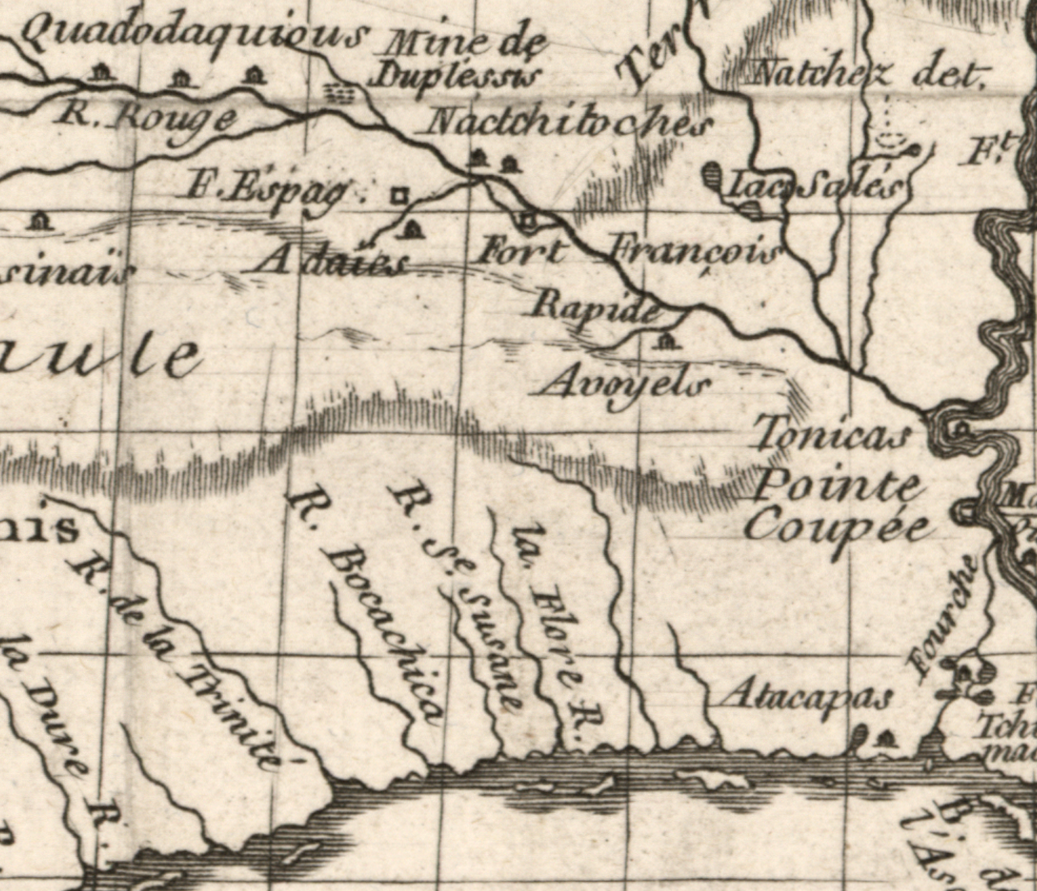
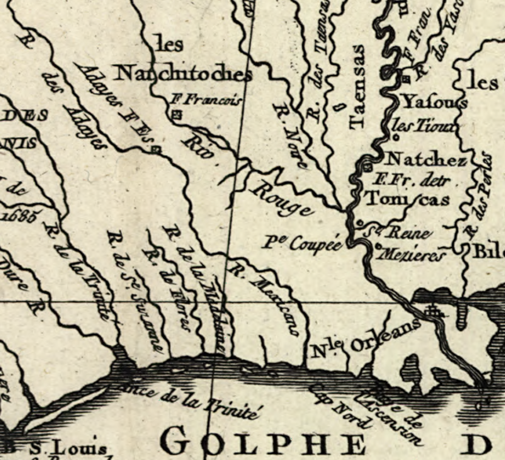
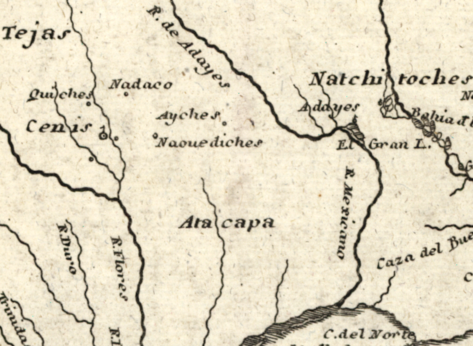
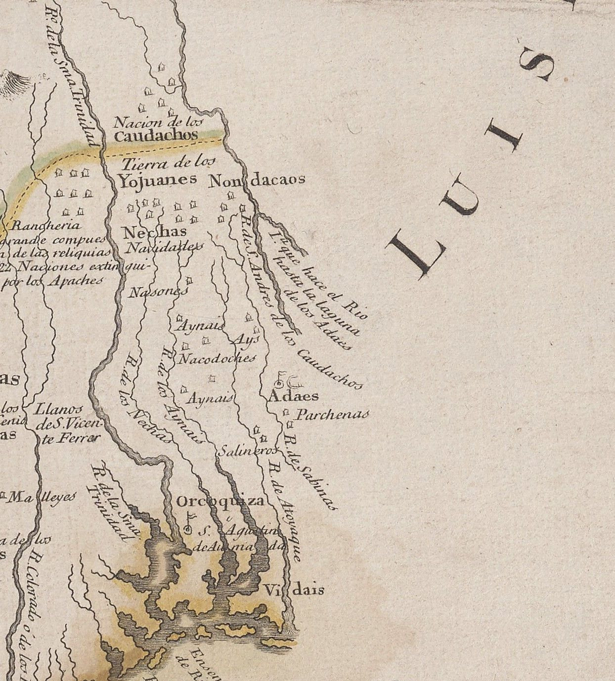
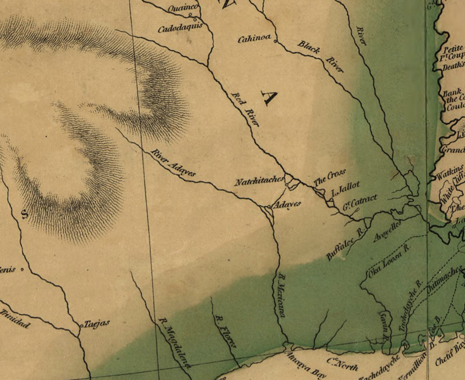
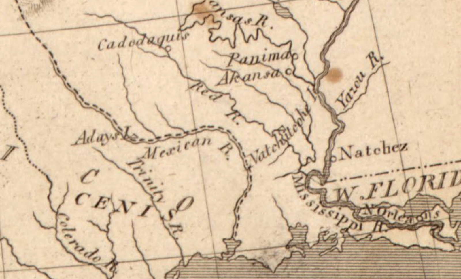
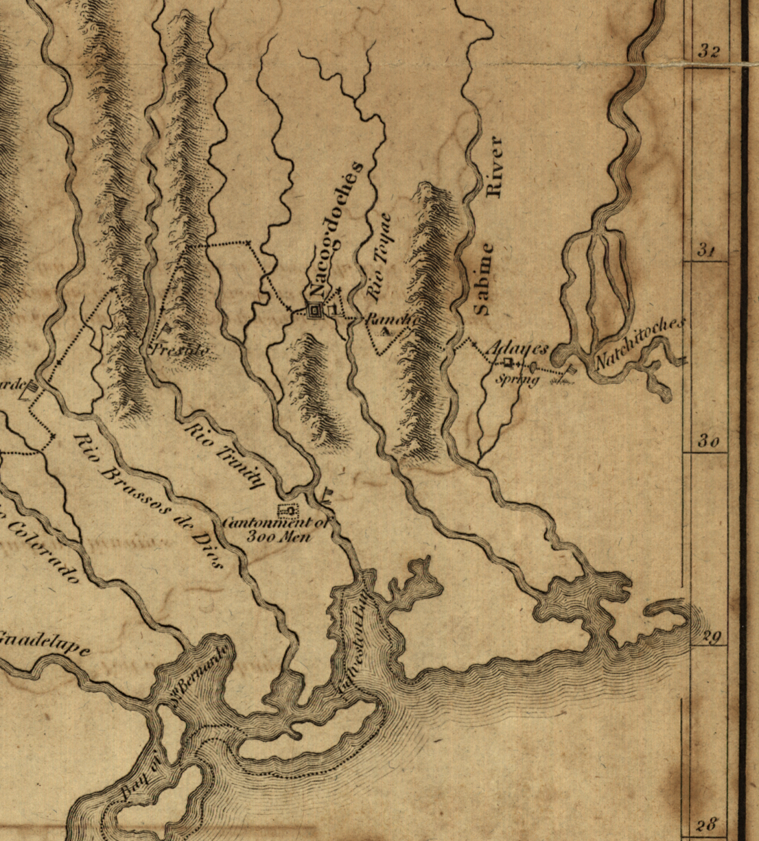
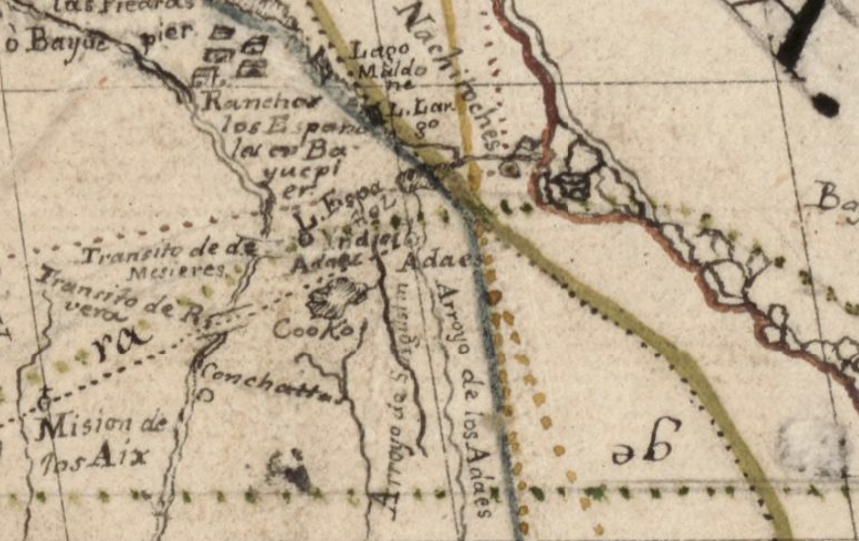
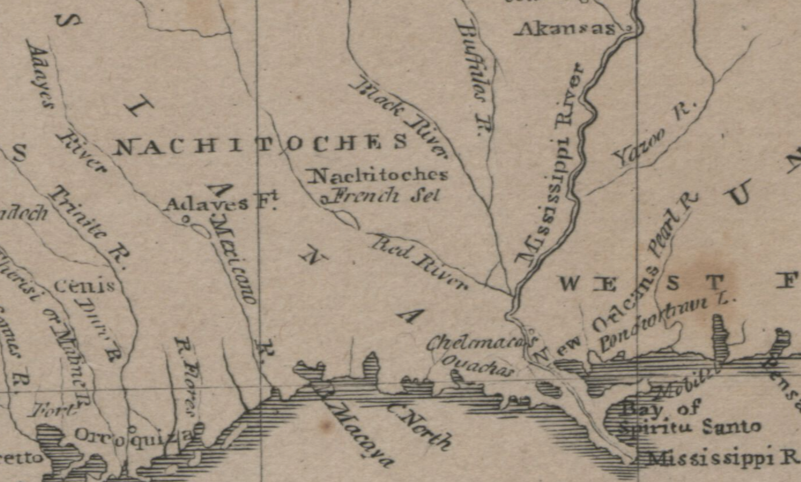
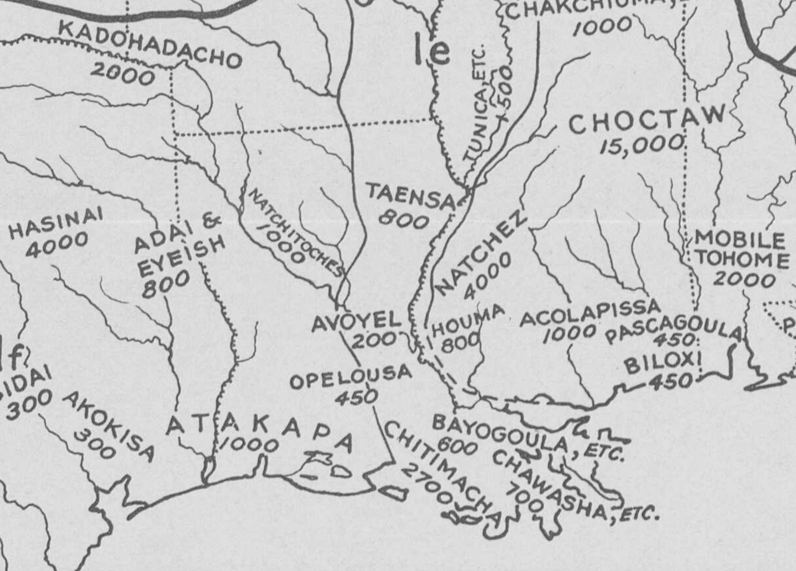
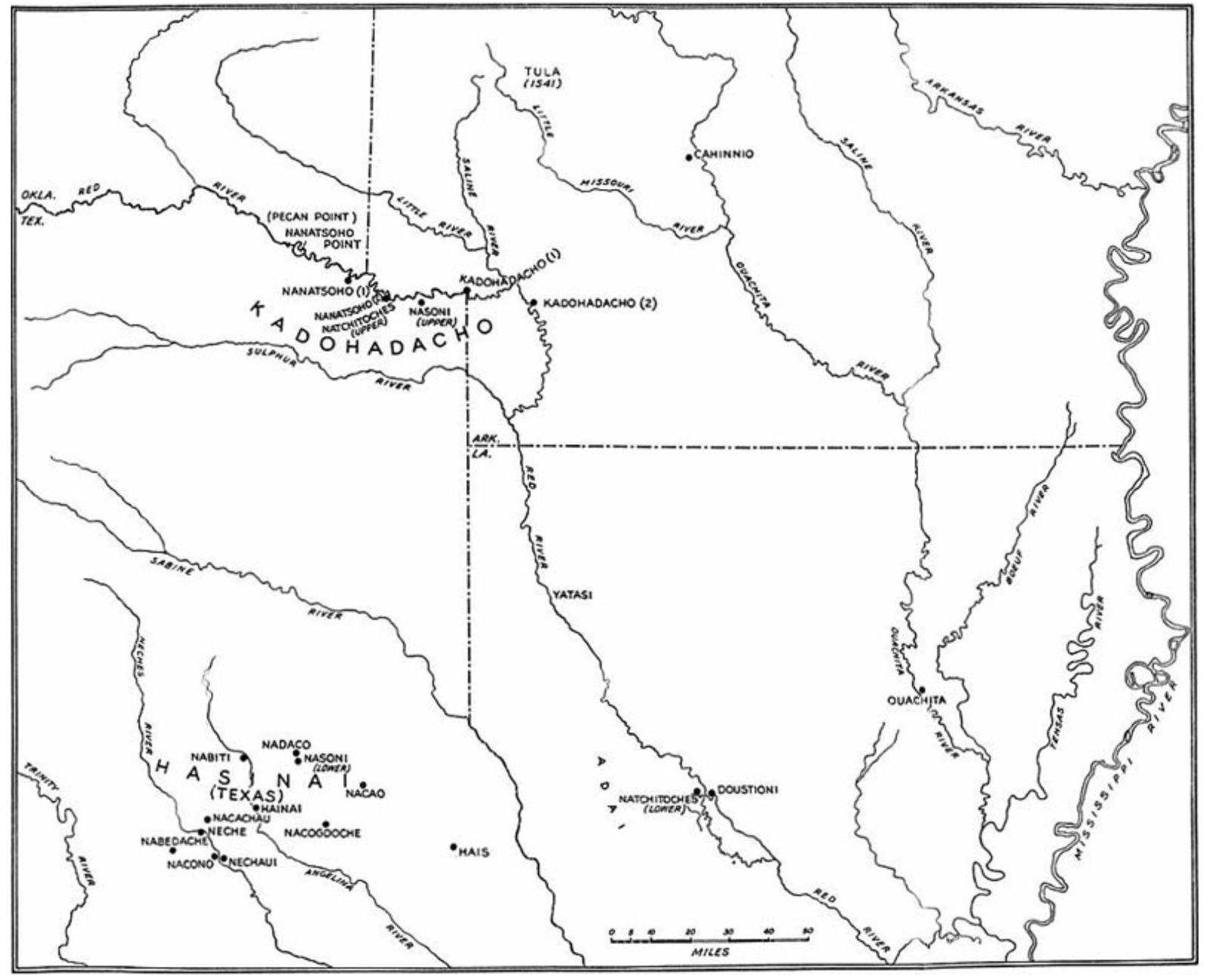
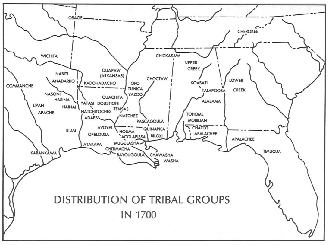
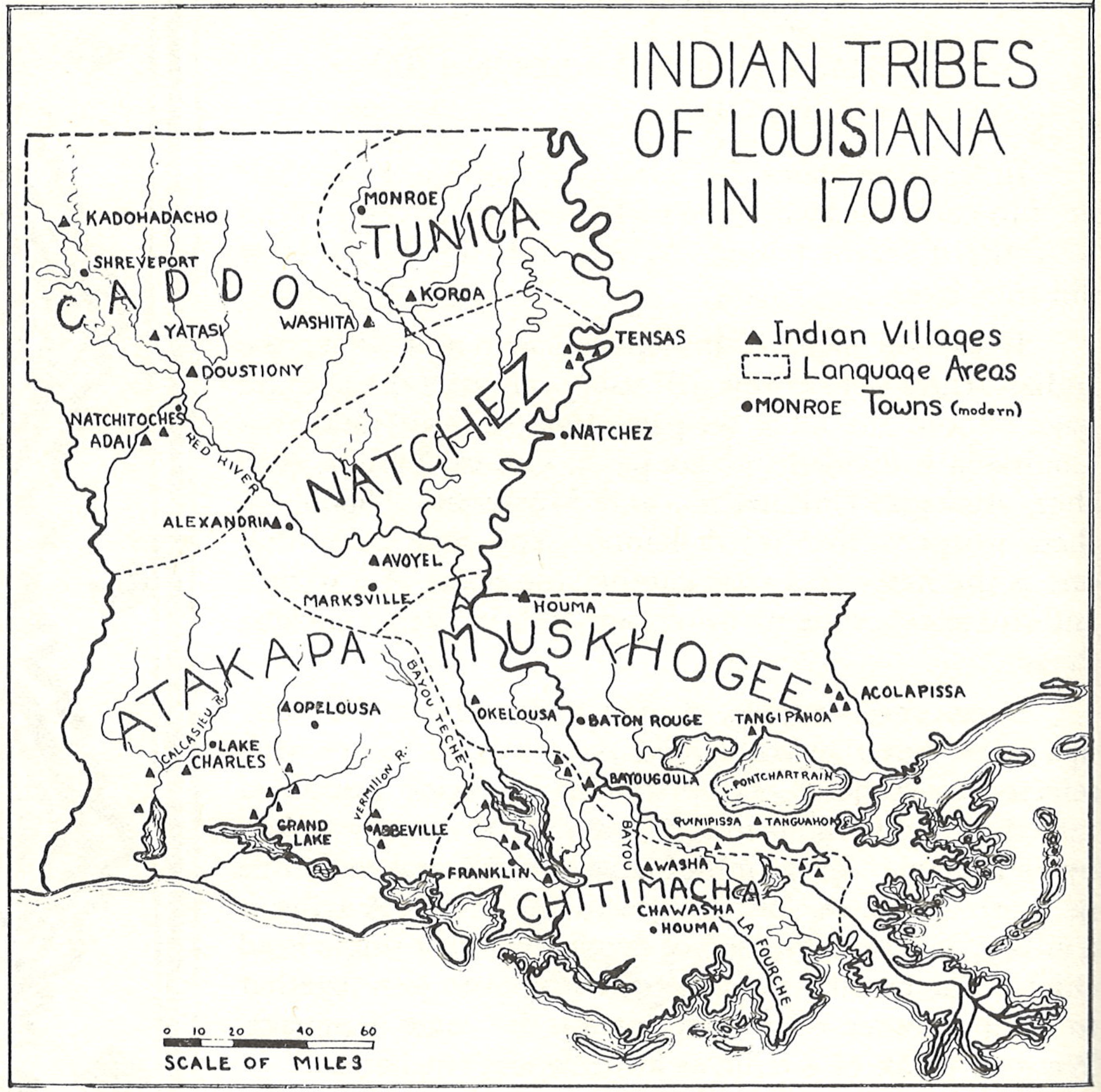
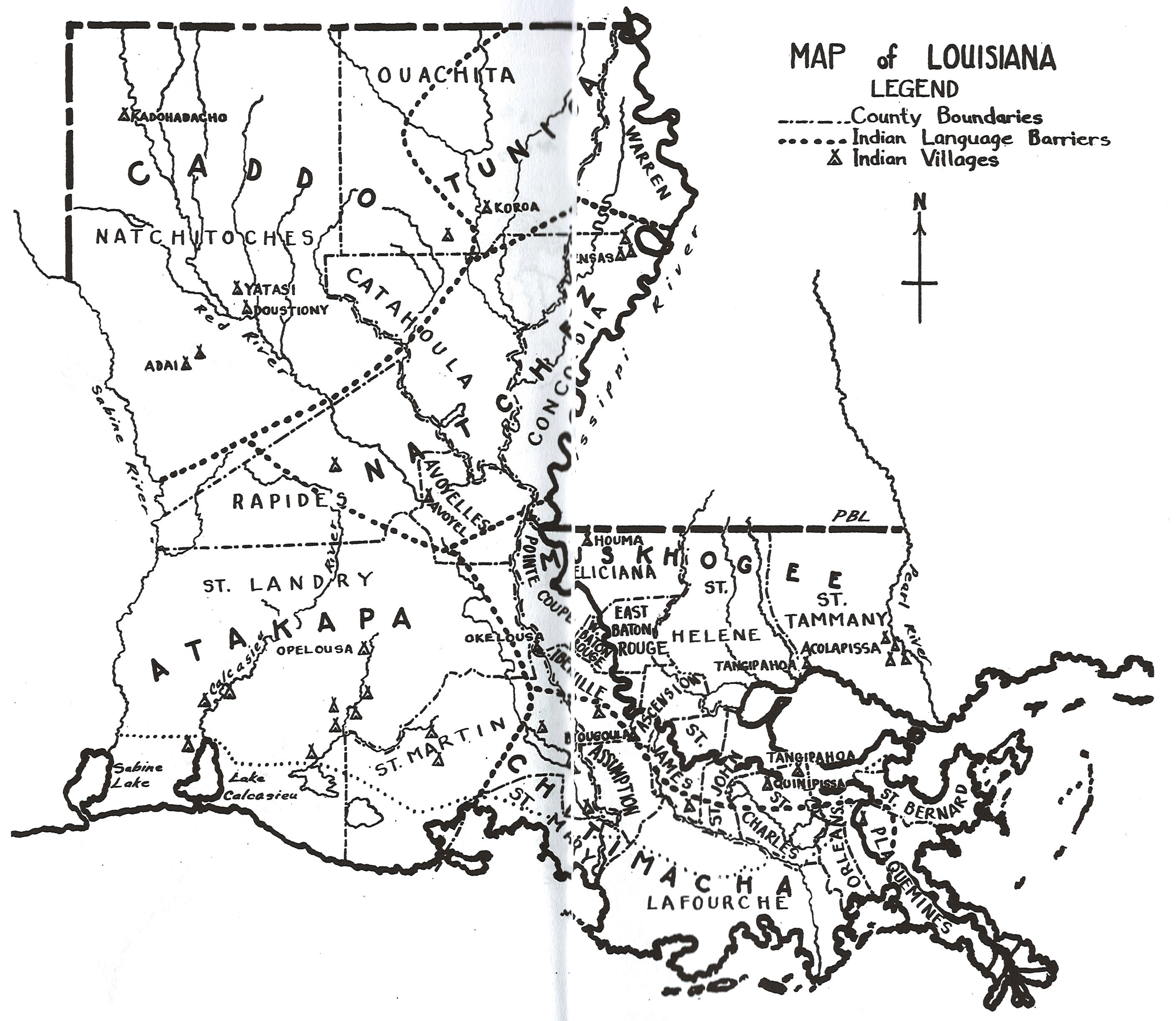
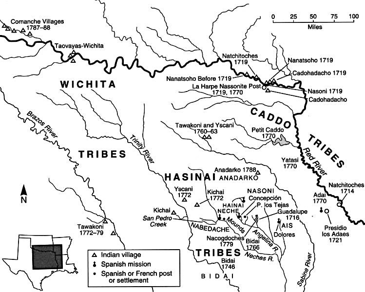
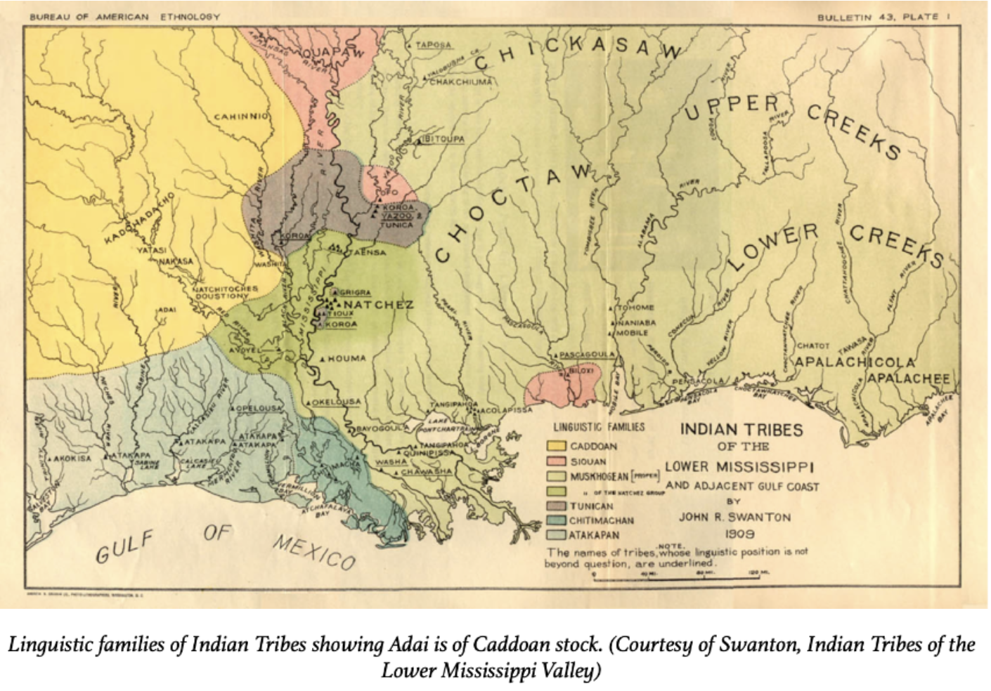
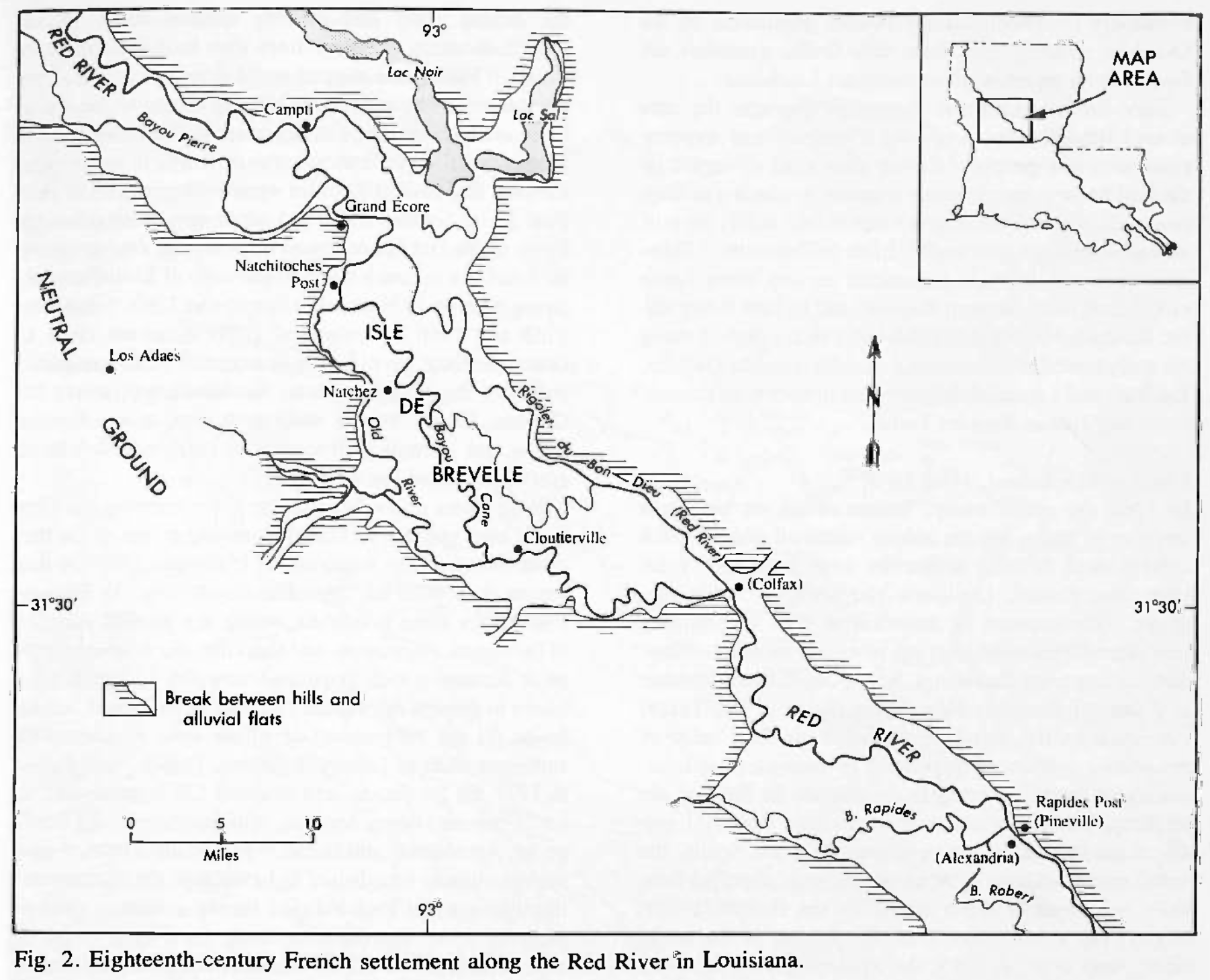
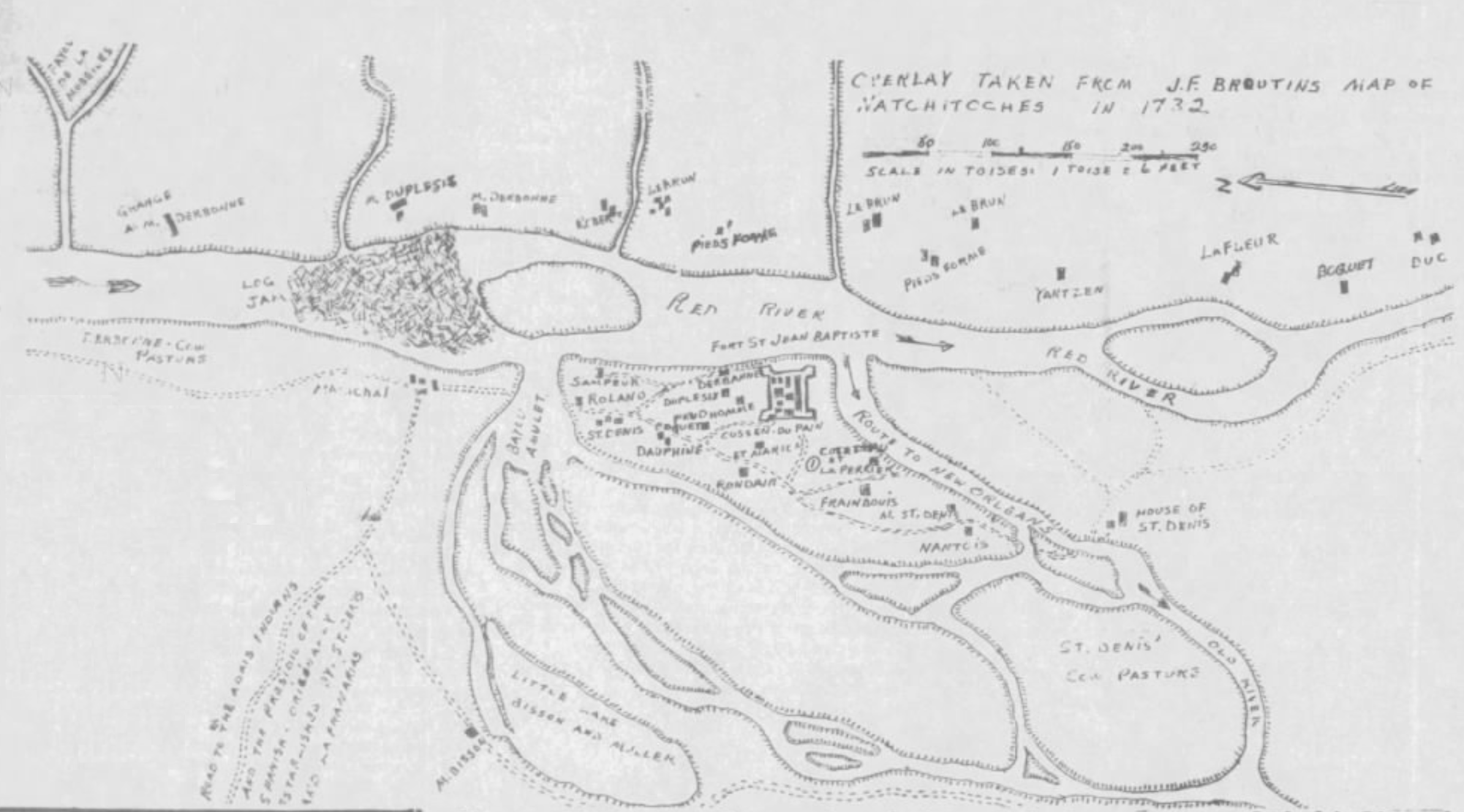
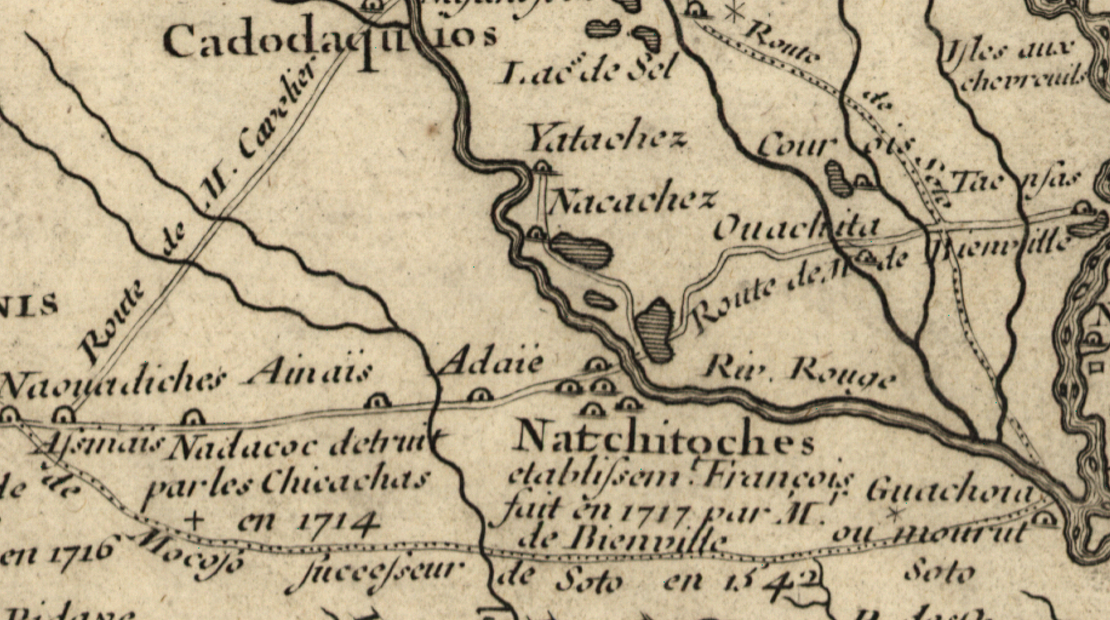
The Adai Caddo appear on some of the earliest maps of colonial Louisiana and Texas. Throughout the French and Spanish colonial periods, Adai villages and territory were repeatedly depicted on official and published maps of the New World.
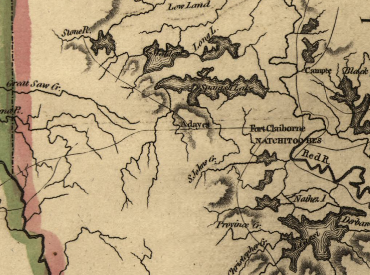
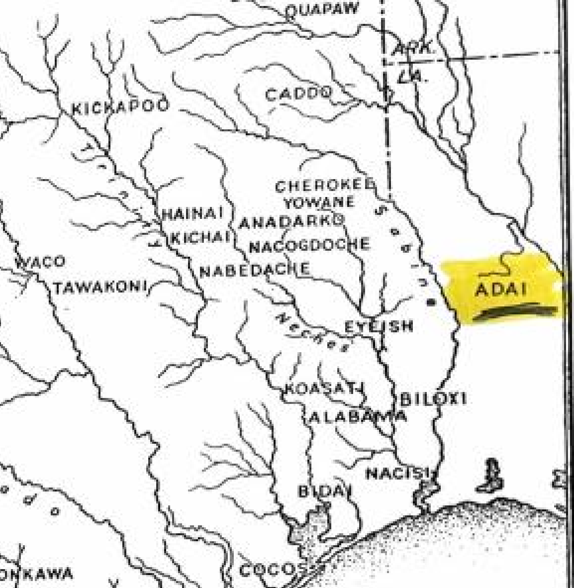
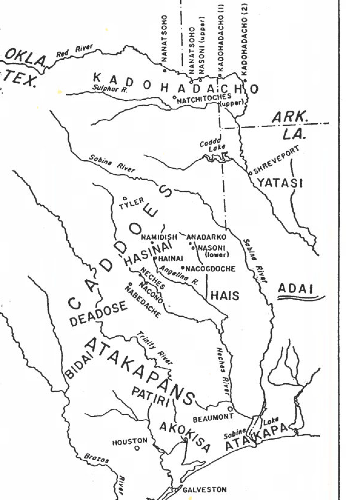
From the earliest Spanish and French cartography of colonial Louisiana through eighteenth-century British, Portuguese, German, and Russian maps, the Adai Caddo appear with remarkable consistency. Across the maps presented here, the Adai Caddo are the only Indigenous people consistently identified in this region—a cartographic record of their enduring presence on their ancestral homeland.
The Seven Years’ War—known in North America as the French and Indian War—was the first truly global conflict, drawing the great European powers into warfare across much of the world. The treaties ending the war dramatically redrew the imperial boundaries in North America. A 1777 map documenting these territorial changes again identifies the Adai Caddo. Like many other eighteenth-century maps of the region, it depicts the Adai as the only Indigenous nation named in this portion of Louisiana. These maps depict the Adai at Los Adaes and two additional Adai villages along the river bearing their name, the Rio de los Adais [River of the Adai], today known as the Sabine River.
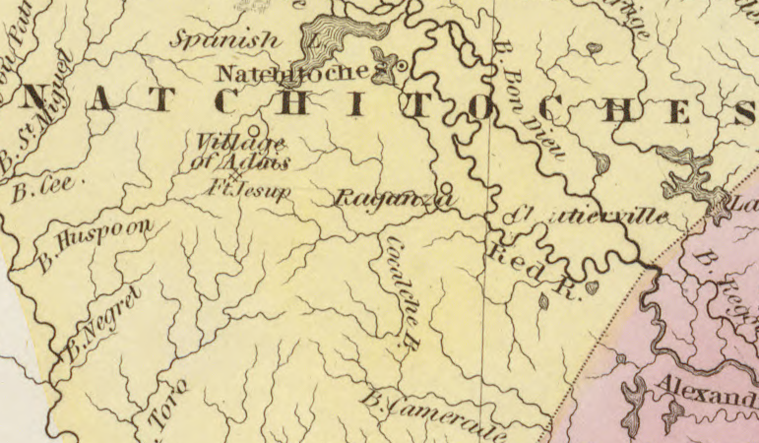
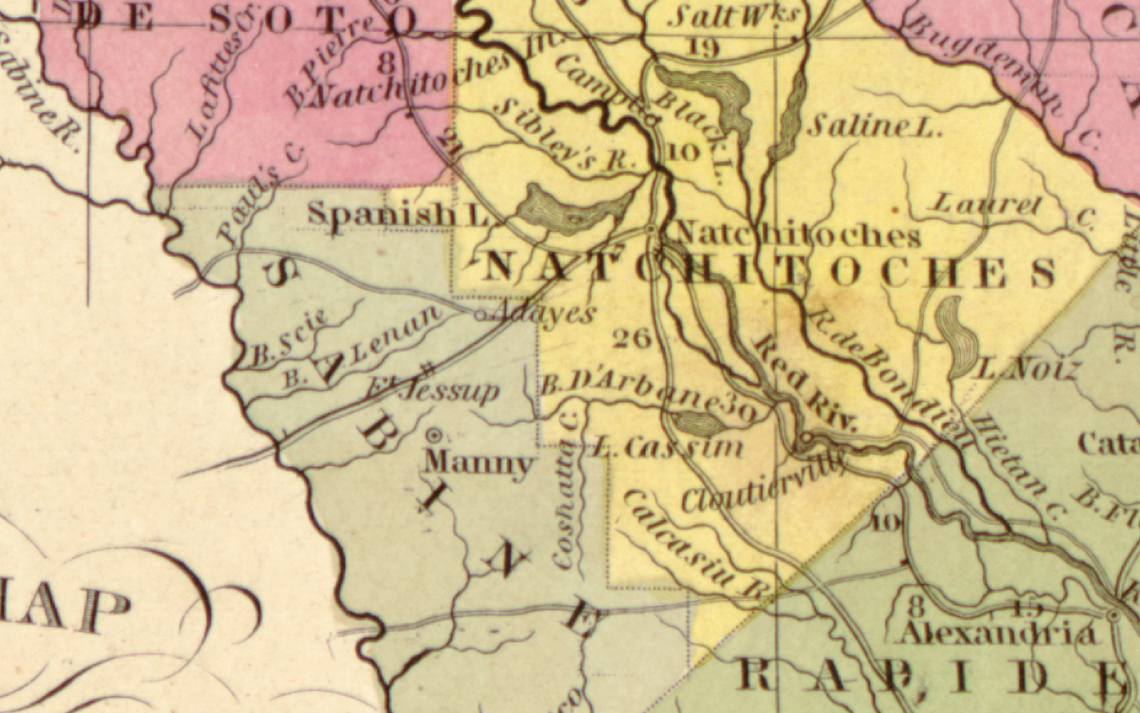
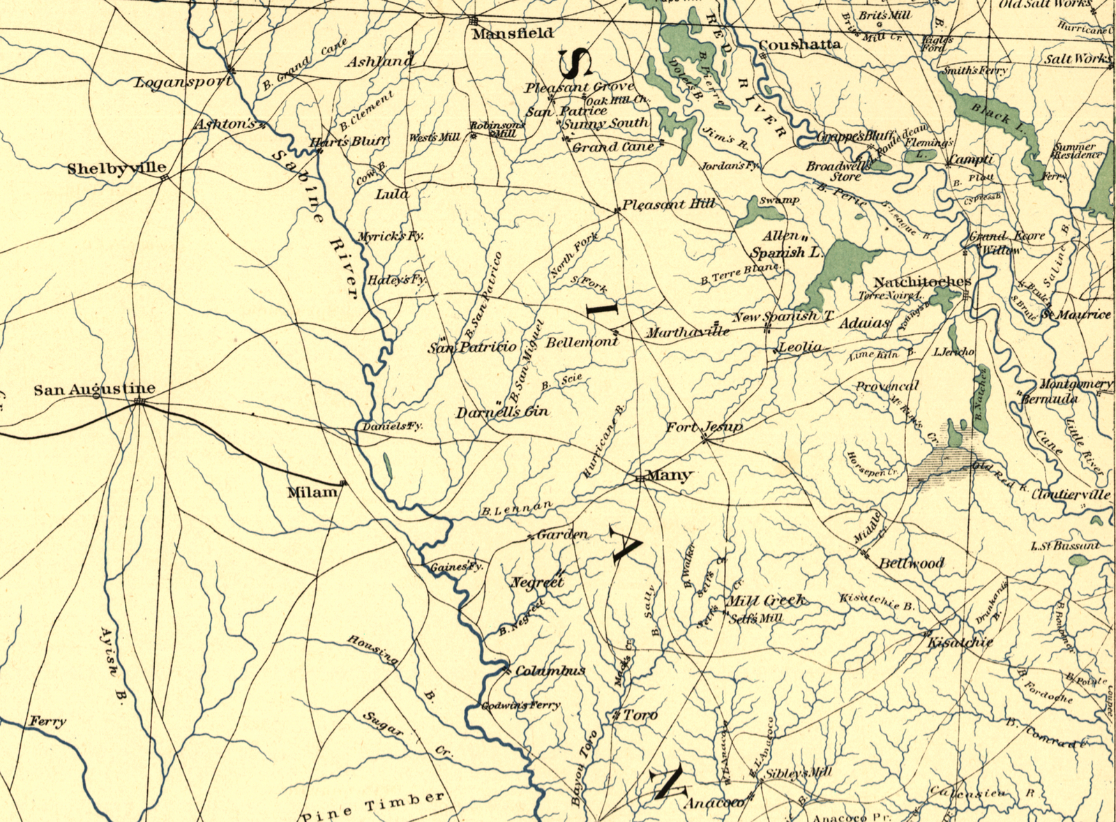
The tribe’s presence on maps continued as empires gave way to nations. Following the American Revolution and the Louisiana Purchase of 1803, the Adai Caddo continued to appear on maps of the recently acquired Louisiana Territory, some of the earliest maps of the new state of Louisiana, and later military maps produced during the Civil War.
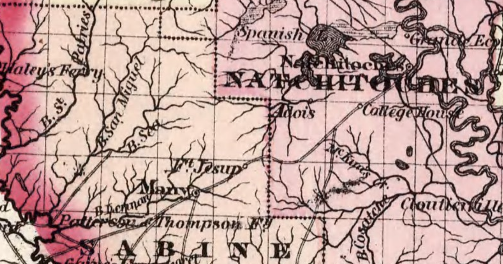
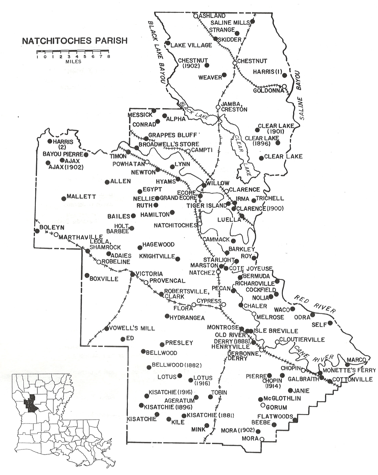
As Louisiana passed through Reconstruction and into the Gilded Age, the cartographic record evolved with it. The older designation of an Adai “Indian village” gradually gave way to the community names of Adaias, Adaies, Adair, Adayes, and Adois, while a U.S. Post Office also bearing the tribe’s name further marked the Adai community on the American landscape.
Across this remarkable succession of maps of west-central Louisiana—from present-day Beauregard Parish northward through De Soto Parish—the Adai repeatedly stand as the only identified Indigenous people. Rather than disappearing from the cartographic record after the colonial era, the tribe persisted across French, Spanish, and American maps, surviving changes in empires, national boundaries, governments, and cartographic conventions.
The Adai Caddo are an Indigenous tribe of Louisiana who have never sold, been forcibly removed from, or abandoned their ancestral homeland. Taken together, these maps form a cartographic record spanning nearly four centuries, documenting the Adai Caddo on the same ancestral lands from the seventeenth century to the present day.
Yet the evidence of this continuity extends far beyond the maps themselves. From the banks of the Sabine River, which once bore the Adai name, to the bayous, creeks, springs, islands, roads, Catholic missions, historical markers, presidio, state historic sites, ceremonial grounds, cemeteries, mounds, and headstones that continue to bear the names of the tribe and its people, the landscape itself preserves story of the Adai Caddo. Together, the cartographic and physical record bear witness to the tribe’s unbroken presence on its ancestral homeland since time immemorial.
The maps below were selected from the tribe’s archives and are organized into three categories:
Primary Cartographic Works — Maps produced as independent cartographic works by cartographers, explorers, surveyors, military engineers, government agencies, mapmakers, and publishers including official maps prepared to document treaties, boundaries, and territorial claims.
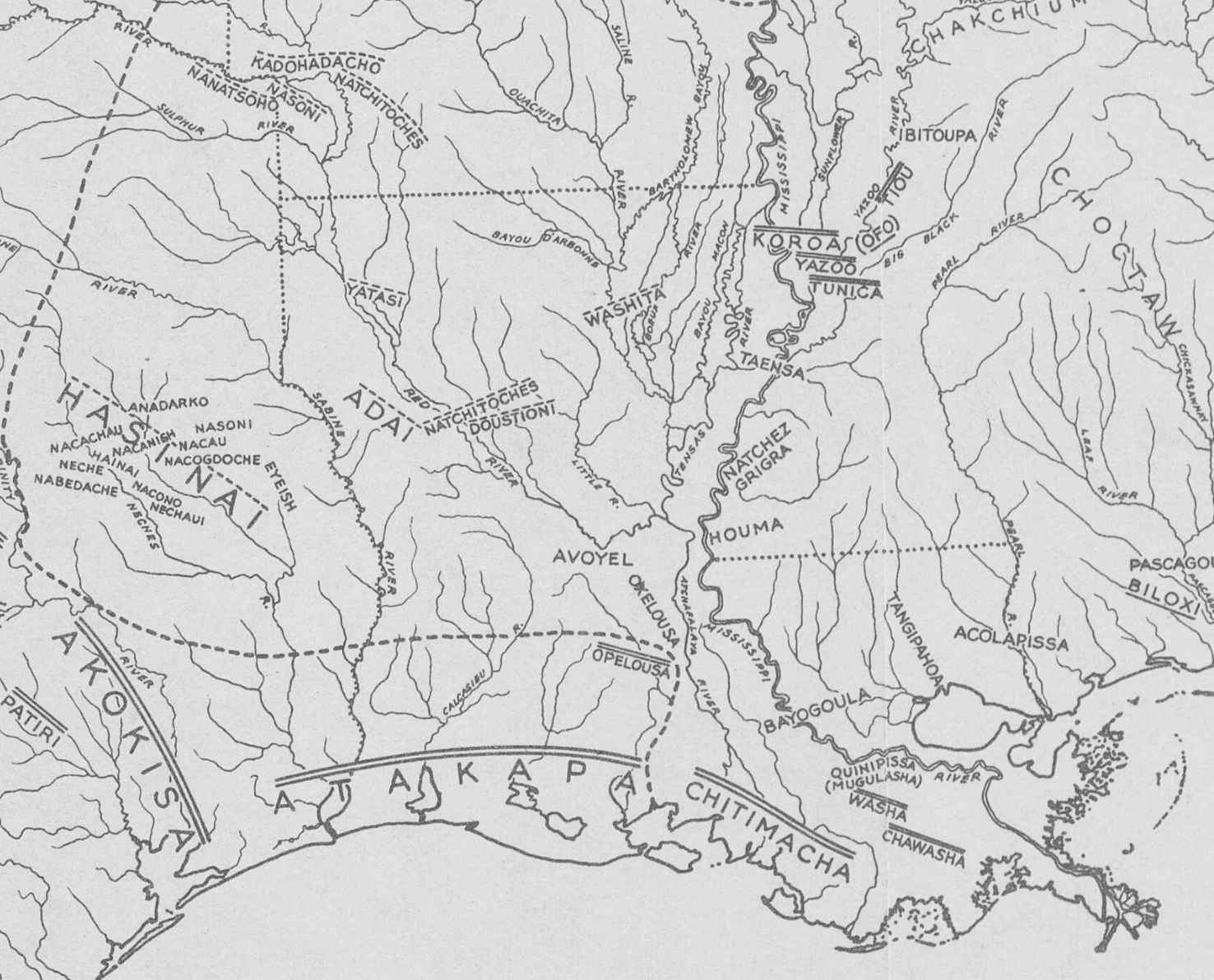
Illustrative Cartography — Maps created to accompany books and other historical works, including maps prepared by authors, editors, historians, ethnologists, professors, and illustrators to depict historical events, migrations, boundaries, settlements, expeditions, and routes.
Periodical and Ephemeral Cartography — Maps published in newspapers, magazines, journals, pamphlets, brochures, and other periodical or ephemeral publications.
At present they [Adai] live at, or near, where their ancestors have lived from time immemorial.
Rev. José Antonio Pichardo
Treatise on the Limits of Louisiana and Texas (trans. published 1931-1946)
Primary Cartographic Works
Maps produced as independent cartographic works by cartographers, explorers, surveyors, military engineers, government agencies, mapmakers, and publishers including official maps prepared to document treaties, boundaries, and territorial claims.
They all speak Caddo, and most of them French; to whom they were always attached, and joined them against the Natchez Indians.
Major Jervis Cutler
A Topographical Description of the State of Ohio, Indiana Territory, and Louisiana, 1812
Illustrative Cartography
Maps created to accompany books and other historical works, including maps prepared by authors, editors, historians, ethnologists, professors, and illustrators to depict historical events, migrations, boundaries, settlements, expeditions, and routes.
Dr. John R. Swanton
Source Material on the History and Ethnology of the Caddo Indians, Bureau of American Ethnology, Smithsonian Institution, 1942
Periodical and Ephemeral Cartography
Maps published in newspapers, magazines, journals, pamphlets, brochures, and other periodical or ephemeral publications.
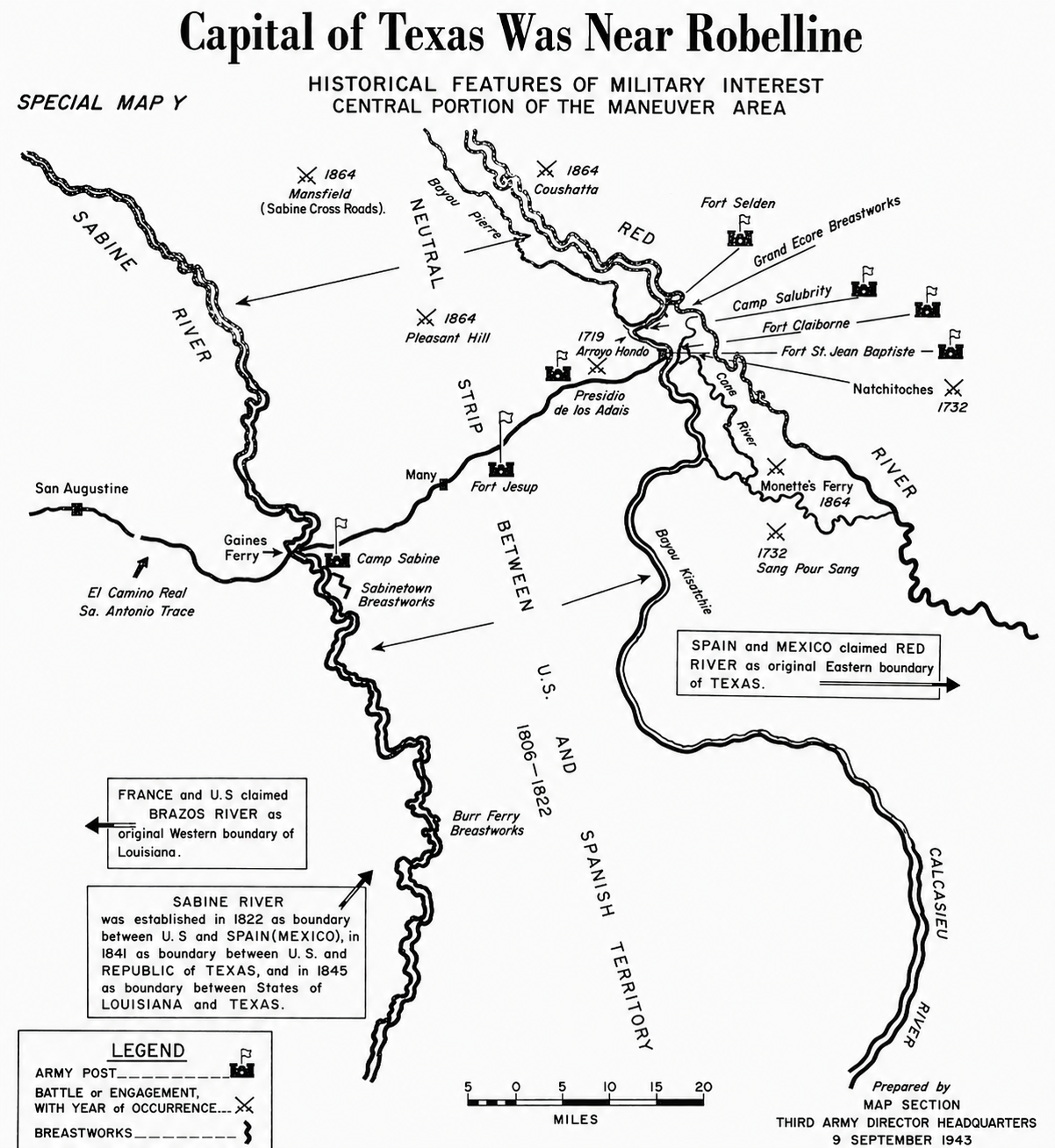
The first capital of the Province of Texas was located in the territory of the Adai.
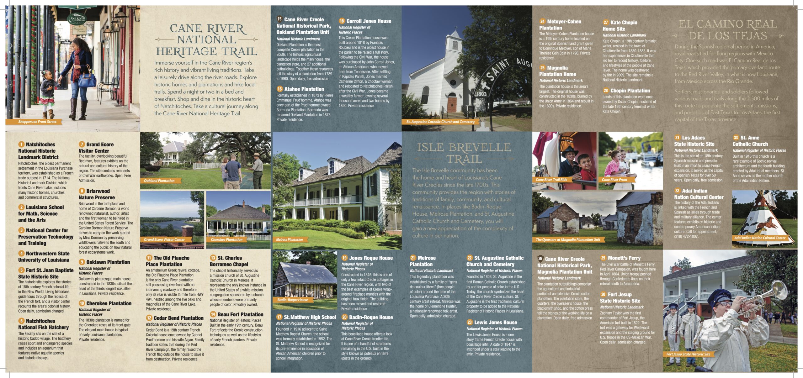
The name of the fort and capital was Presidio de Nuestra Senora del Pilar de Las Adais (Our lady of the Pillar) and memorializes the Adais (Los Adais).
John D. O’Halloran, Parish Historian and President of the Louisiana Council of Official Historians
“Historic Louisiana,” 1953
Named for the Adai Caddo
Geographic Features, Roads, Churches, and Communities in Louisiana and Texas
- Adai Caddo Cultural Center – cultural center, museum, and pow wow grounds of the Adai Caddo in Natchitoches Parish
- Adai Caddo State Designated Tribal Statistical Area – U.S. Census Bureau area in Louisiana
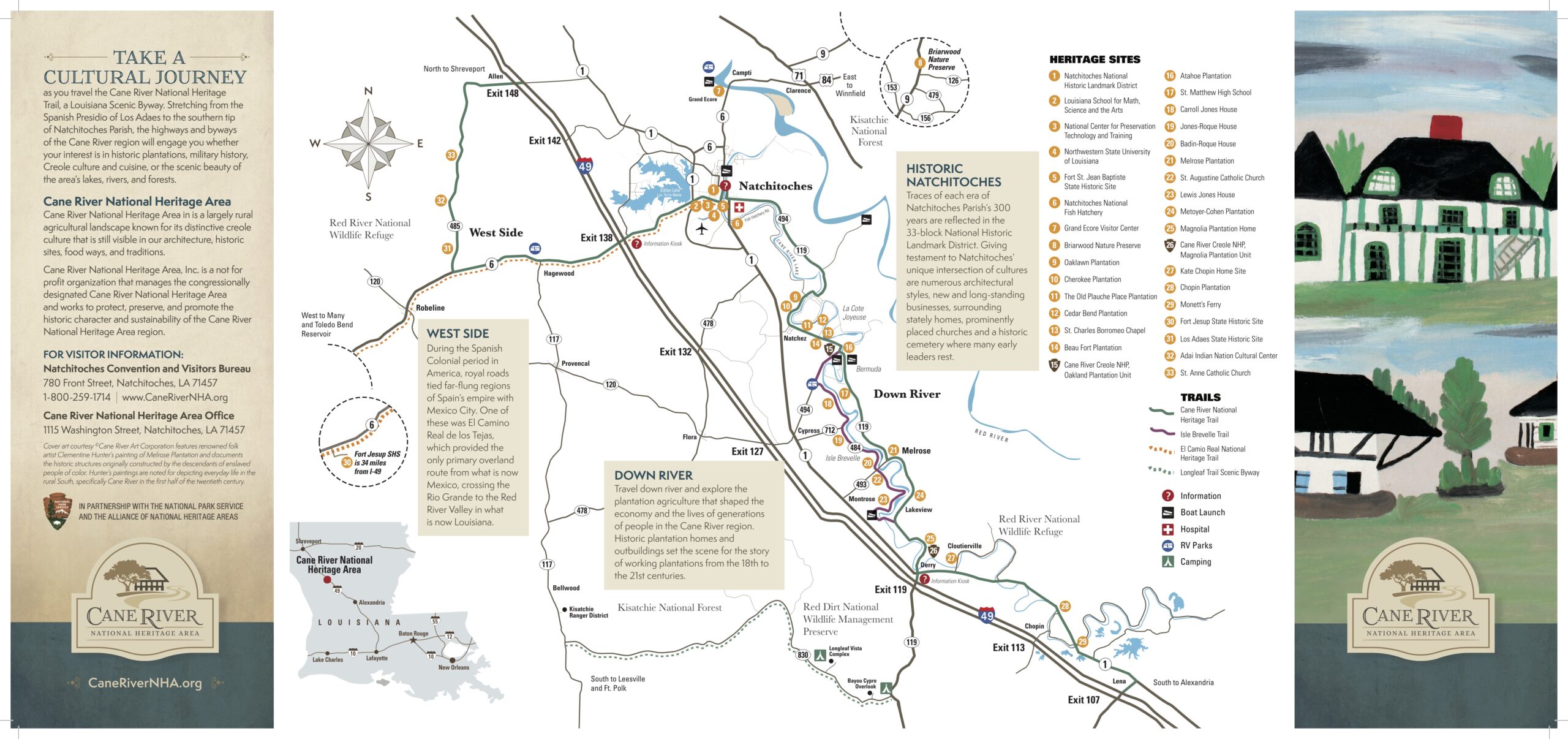
- Adai Trails – today known as the Contraband Trail or the El Camino Real de los Tejas, which is part of the NPS National Trail System
- Adaie Village – main village of the Adai Caddo in the 18th century located on the El Camino Real and Rio de los Adais near the bygone town of Pendleton and Pendleton Bridge (submerged by Toledo Bend Reservoir)
- Adaies Post Office – US Post Office named for the local Adai tribe located near the current Adai Caddo Cultural Center in 1844-1866
- Adois – the bygone community located NW of Robeline, LA with references in Natchitoches property deeds and state maps
- Ataho Bayou – “Adai Bayou” and today a tributary of Little River on Isle Brevelle in Natchitoches Parish
- Ataho Mound – “Adai” Indian mound near the Melrose Plantation on Isle Brevelle
- Ataho Plantation – “Adai Plantation” today known as Atahoe Plantation, located on Isle Brevelle. Originally part of Prudhomme’s Bermuda Plantation, which was divided into Oakland Plantation on the west bank and Ataho Plantation on the east bank.
- Ataho River – “Adai River” and today known as Ataho Bayou and Little River in the Isle Brevelle District
- Attoyac – “Adai” community in Nacogdoches County, Texas
- Attoyac Bayou – “Adai Bayou” formerly known as Attoyac River in Rusk and Nacogdoches Counties forming Sam Rayburn Reservoir
- Attoyac Church & Cemetery – “Adai” church and cemetery in San Augustine, Texas
- Bayou Adaise – “Bayou Adai” and today known as Dolet Bayou in DeSoto Parish, renamed after Pierre Dolet whose land grant called the waterway Bayou Adaise
- Bayou Adois – “Bayou Adai” in Natchitoches and Sabine Parish
- Indian Spring Branch – bayou between Los Adaes and Provencal, Natchitoches Parish
- La Laguna de los Adais – “Lake of the Adai” and today known as Spanish Lake, the community of Spanish Lake, and Spanish Lake Highway (LA 485) in Natchitoches Parish
- Los Adaes – “the Adai,” the first capital of Texas for approximately 50 years in Natchitoches Parish
- Los Adaes State Historic Site – “the Adai” Louisiana State Park in Natchitoches Parish
- Los Adais Road – “the Adai Road” in DeSoto Parish
- Nuestra Señora de los Dolores de los Adays – “Our Lady of Sorrows of the Adai,” the 1717 Spanish mission in East Texas (reconstructed 1721)
- Old Adai Villages – bygone villages located near Bayou Pierre in Evelyn, with references in DeSoto and Natchitoches property deeds
- Presidio Nuestra Señora del Pilar de Los Adaes – “Fort of Our Lady of Pilar at the Adai,” the first Spanish fort in Louisiana
- Rio de los Adiais / Rio de los Adais – “River of the Adai” and today known as the Sabine River forming the border between Louisiana and Texas
- San Miguel de Cuellar de los Adaes – “Saint Michael of Cuellar (Duke and Viceroy of New Spain) of the Adai,” the second Catholic mission in Louisiana
- San Miguel de Linares de los Adaes – “Saint Michael of Linares (Duke and Viceroy of New Spain) of the Adai,” the first Catholic mission in Louisiana
- Saint Anne Catholic Church – Dedicated as the “Mother Church of the Caddo Adai” and listed in the National Register of Historic Places in 1994 by the Natchitoches Parish Tourist Commission, Robeline
The Ataho [Adai] river called Little river, named for the Ataho [Adai] Indians a branch of the Caddo tribe, is the middle channel mentioned by old writers, as the ancient bed of the Saline that falls into Rigolette de Bon Dieu at St. Maurice. A continuance of this old stream in ages past is what is known as Corne Fin, Fine Horn that runs through Lake La Croix island in Grant parish. Aloha stands on the bank of it.
Dr. Milton Dunn
“History of Natchitoches,” The Louisiana Historical Quarterly, 1920